Falling Temperatures Nationwide
In general, the average highs for Canada in late October drop to around 8 °C (46 °F), and lows hover near or below freezing. In regions like Vancouver, for instance, highs at the end of October are around 12 °C (54 °F) and lows about 7 °C (44.8 °F). Therefore, dressing warmly becomes essential and outdoor activities may feel brisk.
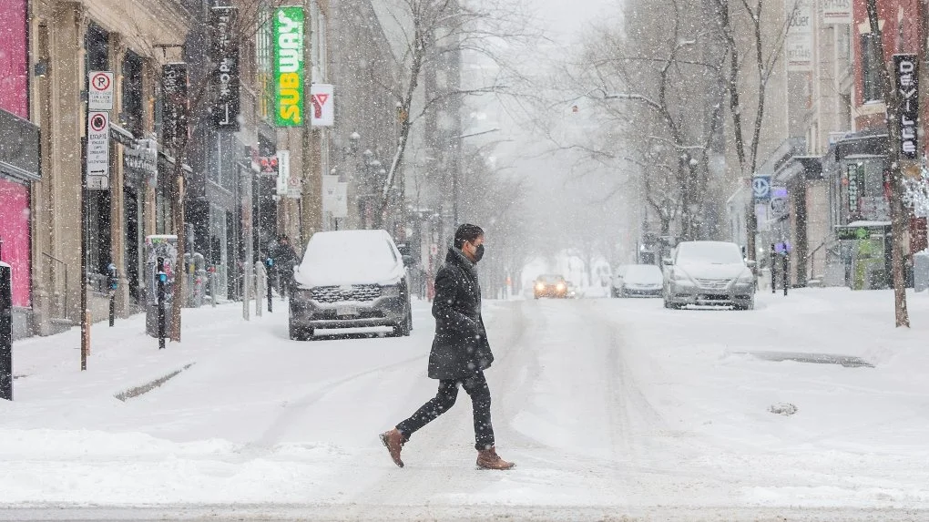
Early Winter Signals Emerging
Meanwhile, forecasts warn that many areas are moving into a more active pattern for winter ahead. For example the fall forecast for the Prairies and Alberta shows a flip toward a colder and more snow-active pattern as November approaches. Some higher elevation zones already see early flurries or the risk thereof. The switch signals the end of the more stable mild autumn days.
Regional Highlights and Risks
In Vancouver and coastal British Columbia, rainfall becomes more frequent and temperatures continue to fall. Thus, the damp chill sets in and umbrella + warm layers are advised.
In central provinces such as Calgary (Alberta), October’s average shows lows near 1 °C and highs around 10 °C, with snow days already possible. The Prairies may face the sharpest drop and earliest winter-like conditions.
What This Means for Residents
Since the weather is turning colder and more variable, residents should transition their wardrobe accordingly. Warm jackets, insulated footwear and perhaps winter tires become relevant. Also, those enjoying fall activities should be aware that the “mild window” may close rapidly. Municipal services and transport systems may need to shift into winter mode sooner than expected.
Looking Ahead into November
Finally, the outlook indicates that late October’s drop is just the beginning. According to long-range forecasts, Canada can expect a return to more classic winter patterns—cold holds firm, precipitation may shift to snow, especially in northern and inland zones. Therefore, staying alert and preparing early can help mitigate the impact of the seasonal transition.