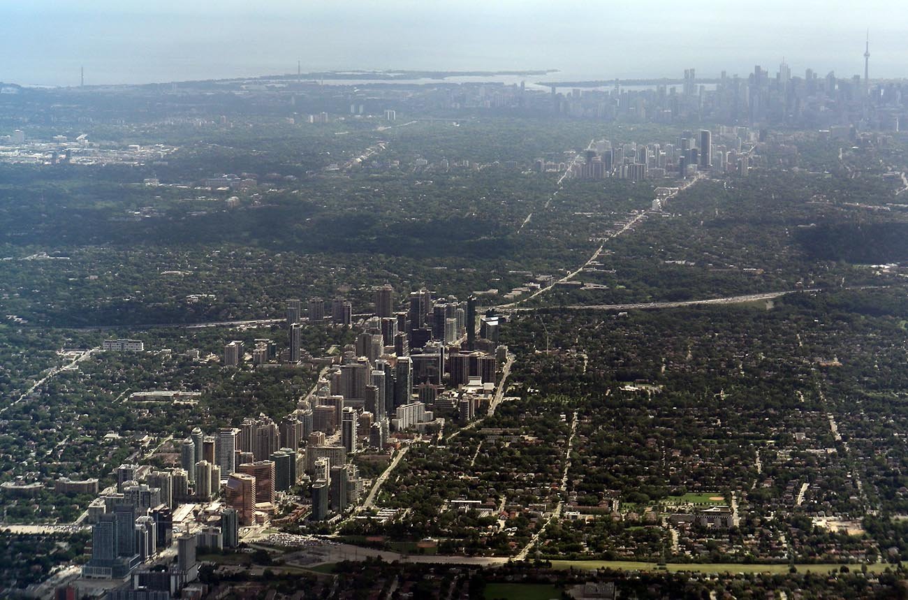
Toronto Records One of Its Earliest Snowfalls
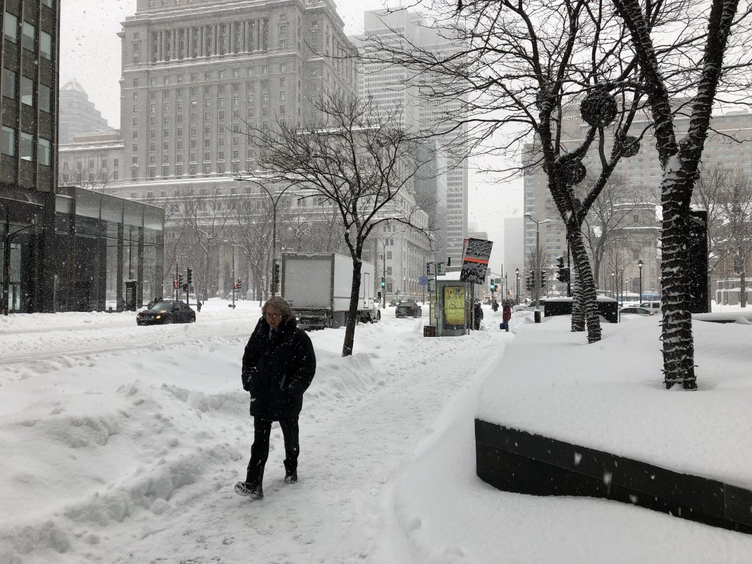
On November 9, Toronto received more than 5 cm of snow — the earliest such accumulation the city has seen in over 50 years.
Temperatures dropped sharply, and a brief cold snap followed. For many residents, this felt like a sudden leap from fall into winter.
Why the Cold Came So Early: Meteorological Drivers
According to weather experts, a mass of Arctic air is pushing south, fueled by a deep trough in the polar jet stream. This influx of frigid air is triggering widespread snowfall across the country.
The clash between cold air and lingering moisture from October is contributing to “snow‑vember” conditions.
Provincial Outlook: What to Expect Next
Winter forecasts for 2025–26 suggest an active season ahead. According to the Old Farmer’s Almanac, many regions may see snowier-than-average conditions in late November, December, and January.
However, not all parts of Canada will experience the same pattern — while some provinces forecast heavy snow, others may stay relatively mild.
Prairie Provinces Brace for Intense Early Snow
In Saskatchewan and Manitoba, meteorologists warn that early snow could stick and even insulate the ground, which can freeze later.
These regions may feel both the chill of winter and the long-lasting impact of a persistent snowpack.
A Polar Vortex Threat Could Deepen the Freeze
Forecasts suggest that the polar vortex may dip farther south, pushing more Arctic air into Canada. If that happens, record‑cold temperatures and more intense snow events could follow, particularly in central and eastern regions.
What This Means for Canadians
Canadians should prepare for a more abrupt start to winter than usual.
Residents in affected provinces may need to ready their winter gear early, while local governments and services could face increased demand for snow clearing and heating support.